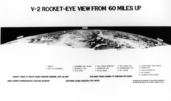
In 2004, Google acquired Keyhole, Inc., a small tech startup named in homage to the spy programme, which had built an impressive earth imagery viewer called Earth Viewer – better known today as Google Earth. Google Earth and its associated maps and guides have revolutionised how all of us see the earth, becoming accustomed to the once-privileged God’s Eye view from above. The kind of vision exalted by Hugo has become commonplace, a superpower we use to drive to the shops. But this vision has always been filtered through multiple systems and agencies.
Keyhole Inc’s earlier investors were the CIA and the National Geospatial Agency, and this proved to be a lasting marriage: in September 2008, Google’s logo was plastered on the side of a Delta II rocket which launched from Vandenberg Air Force Base in California, carrying the first GeoEye satellite, financed by the NGA. Imagery from the satellite was exclusively reserved for Google and the US government – although until last year only lower resolution images were allowed to reach the public.
This principle is known elsewhere as Selective Availability. When the Global Positioning System was developed, its stunningly and beautifully complicated mathematical underpinnings allowed for multiple signals from space-based atomic clocks to triangulate any position on the earth’s surface. But those signals are also encrypted: until 2000 (a full quarter century into the protocol’s operation) an offset introduced into the encrypted signal reduced its accuracy for non-military users, a displacement of up to a hundred metres. At global scale, this is little, but if you’re trying to build better public services through surveying or navigation, or bring a rocket-propelled grenade down on the heads of a marine emplacement, it’s pretty crippling. It wasn’t until the US military developed other systems for selectively denying GPS to specific areas that Selective Availability was turned off for everyone. You won’t be lost now – unless you make the wrong enemies.
Likewise, the ability to see from space is subject to Selective Availability. The public images from GeoEye-1 and subsequent reconnaissance satellites were restricted to a resolution of 50cm: imagine that everything around you smaller than half a metre is just a featureless rectangle. Unsurprisingly, that box neatly accommodates the human body seen from above, and I think that’s kind of beautiful, apart from the fact that much higher resolutions flowed in a constant stream to the military. The images and their spacial referents exist, but we can only see a degraded version, dislocated in time and space. The Google Earth on your desktop is a dark glass.
Incite, derail, make easy or difficult, enlarge or limit, render more or less probable: these are the categories of power. If you wanted to write about how power worked in the past, you had to do a lot of hand-waving, and you’d frequently come across as a loon. Conspiracy theories, dark hints of secret cabals, references to conferences and Portuguese golf hotels nobody else could verify. Your rants were mimeographed and stacked up in steel containers in the libraries of activist groups susceptible to fire and preemptive arrest. Now, we have Google. And I mean that both ways.
The nature of power is that it operates by a set of rules which it constantly generates, and renders obscure to the rest of us. It’s a withholding of knowledge and ability designed, quite deliberately, to remove your agency. We have the rockets and the rocketeers, the microchips and the systems engineers, the cables and the land rights, and the monopoly on force which means you can’t get near enough with your bolt-cutters and cameras.
But here’s a thing: we’re writing down those rules now. And we have, perhaps by accident or perhaps not, developed a system of universal transmission and reception which makes those rules accessible to you. Not quite yet writable, but certainly viewable. These statutes, frameworks, biases and intents, insane suppositions and logical results, are visible to us in ways that they never were before. Every image we have comes to us through systems and networks of distribution and filtration, but you can check out the codecs and routers through which they pass, whether that’s a Cisco mainframe or a right-wing nutter who’s somehow, still, fought their way to some kind of position of political responsibility. They can’t hide behind a system whose source code is readable by anyone with a net connection.
Given this understanding, what are we to do? While it’s possible for anyone to make images now, the decision to actually do so, and particularly to make images that weren’t possible before, or whose creation and mediation has been strictly limited to those with the money and the launch programme, is a radical act. So too is knowing the precedents.
Back in 1997, the Bureau of Inverse Technology flew a series of sorties over the industrial parks of Silicon Valley, using a miniature video camera strapped to a small radio-controlled plane. The plane’s view encompassed not only the offices of the well-known tech companies, but the hangars and manufacturing yards of the military-industrial complex: from Hewlett Packard to Lockheed Martin, Sun Microsystems to Moffet Air Base. All of the postwar developments of the digital industry are laid out in a view akin to Doug Engelbart’s ‘fly-through’ information space, making explicit the substrate on which contemporary culture runs. The BIT Plane is didactic, but it’s the didacticism of revolutionaries, of trespassers where instant decisions and certainty of purpose are tools of survival.


